- Will Weaver's Weather & Pacific Typhoon Center
- Posts
- Tropical Storm Wipha (09W/Crising) – Tropical Cyclone Advisory #7: 0000 UTC 19 July 2025
Tropical Storm Wipha (09W/Crising) – Tropical Cyclone Advisory #7: 0000 UTC 19 July 2025
Wipha strengthening more quickly as it moves out of the Luzon Strait
Will Weaver
July 18, 2025
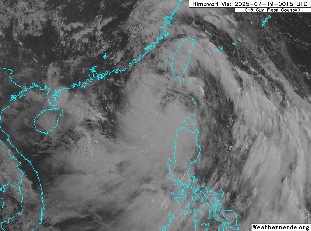
…Wipha strengthening more quickly as it moves out of the Luzon Strait…
 Himawari-9 visible satellite image (Weathernerds) | Current storm information:
Trend:
|
Watches and warnings:
 PAGASA wind signal map (click to enlarge) | Hazards affecting land:
|
Himawari-9 visible satellite image (Weathernerds)

Himawari-9 infrared satellite image (Weathernerds)
The next advisory will be posted after 1200 UTC 19 July 2025.
Forecast positions and maximum winds
00 hrs: 19.9°N 119.7°E – 50 kts
12 hrs: 21.1°N 117.4°E – 60 kts
24 hrs: 21.7°N 114.9°E – 70 kts
48 hrs: 21.1°N 110.2°E – 80 kts inland over Leizhou Peninsula
72 hrs: 20.6°N 107.1°E – 80 kts
96 hrs: 20.4°N 104.3°E – 35 kts inland
120 hrs: 20.1°N 102.8°E – 25 kts inland

JMA forecast map