- Will Weaver's Weather & Pacific Typhoon Center
- Posts
- Tropical Depression 23W (#Mirasol) – Tropical Cyclone Advisory #3: 1200 UTC 17 September 2025
Tropical Depression 23W (#Mirasol) – Tropical Cyclone Advisory #3: 1200 UTC 17 September 2025
Mirasol weakens some more as it prepares to emerge back over water
…Mirasol weakens some more as it prepares to emerge back over water…

Himawari-9 infrared satellite image (Weathernerds)
Current storm information:
Position: 18.6°N 120.5°E
Movement: NW at 8 knots (15 km/h)
Intensity: 25 knots (45 km/h)
Central pressure: 1004 hPa
Trend:
Little change in strength is forecast during the next 24 hours.
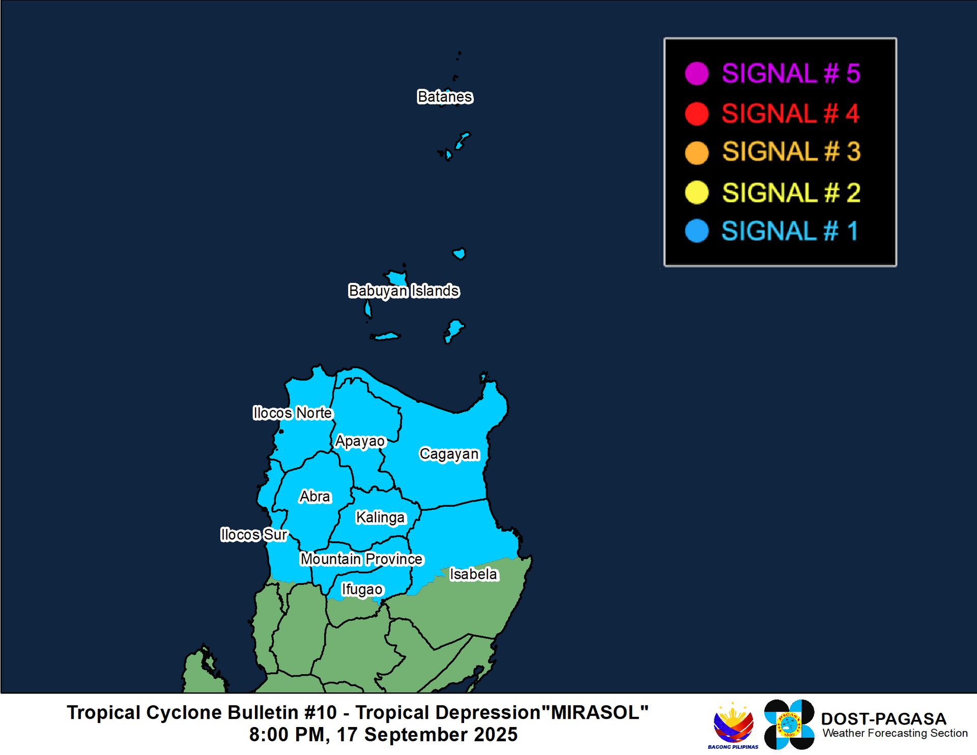
Watches and warnings:
| Hazards affecting land:
|
Discussion:
Interaction with the rough terrain of Luzon’s Cordillera Central has done a number on 23W/Mirasol. The depression’s circulation has broadened significantly during the past several hours, and it also appears that the surface center has redeveloped to the north of its previous position and closer to the more robust mid-level circulation. Most of the core convection has dissipated, with a few fragmented bands located mainly over water and along the east and west coasts of Luzon. Available surface observations are not particularly impressive with mostly light winds located close to the center, although scatterometer data indicates a small area of 20 to 25 kt winds occurring along the northern coast of Luzon. Based on this data and a CIMSS D-PRINT estimate of 26 kts, the intensity is lowered to 25 kts.
The forecast track has been nudged a bit to the east of the previous one, and shows less time over water than previous forecasts. TD 23W is forecast to move generally northwestward as a trough passing over central China erodes the strong subtropical ridge to the north. Given how disrupted 23W has become, the models have backed off big time on any reintensification as it moves across the northeastern South China Sea, and in fact the GFS barely brings it back to tropical storm status before landfall. Given that 23W will be moving over shallower waters and encountering some increased shear by Friday evening, only some modest strengthening is forecast before it moves inland east of Hong Kong on Saturday. After landfall, 23W should rapidly weaken and dissipate.
Forecast positions and maximum winds
00 hrs: 18.6°N 120.5°E – 30 kts inland
12 hrs: 19.0°N 118.6°E – 30 kts
24 hrs: 19.9°N 117.0°E – 35 kts
48 hrs: 22.0°N 115.1°E – 35 kts
72 hrs: 23.0°N 113.3°E – 25 kts inland
96 hrs: Dissipated

JMA forecast map
