- Will Weaver's Weather & Pacific Typhoon Center
- Posts
- Post-Tropical Cyclone Neoguri (25W) – Tropical Cyclone Advisory #23 (FINAL): 0000 UTC 29 September 2025
Post-Tropical Cyclone Neoguri (25W) – Tropical Cyclone Advisory #23 (FINAL): 0000 UTC 29 September 2025
Neoguri becomes an exceptionally powerful hurricane-force extratropical cyclone in the far north central Pacific. This is the last advisory.
Will Weaver
September 28, 2025
…Neoguri becomes an exceptionally powerful hurricane-force extratropical cyclone in the far north central Pacific… …This is the last advisory…

Himawari-9 visible satellite image (Weathernerds)
Current storm information:
Position: 42.4°N 172.4°E
Movement: NE at 30 knots (55 km/h)
Intensity: 90 knots (165 km/h)
Central pressure: 962 hPa
Trend:
Rapid weakening is forecast once extratropical transition is complete.
Watches and warnings:
| Hazards affecting land:
|
Discussion:
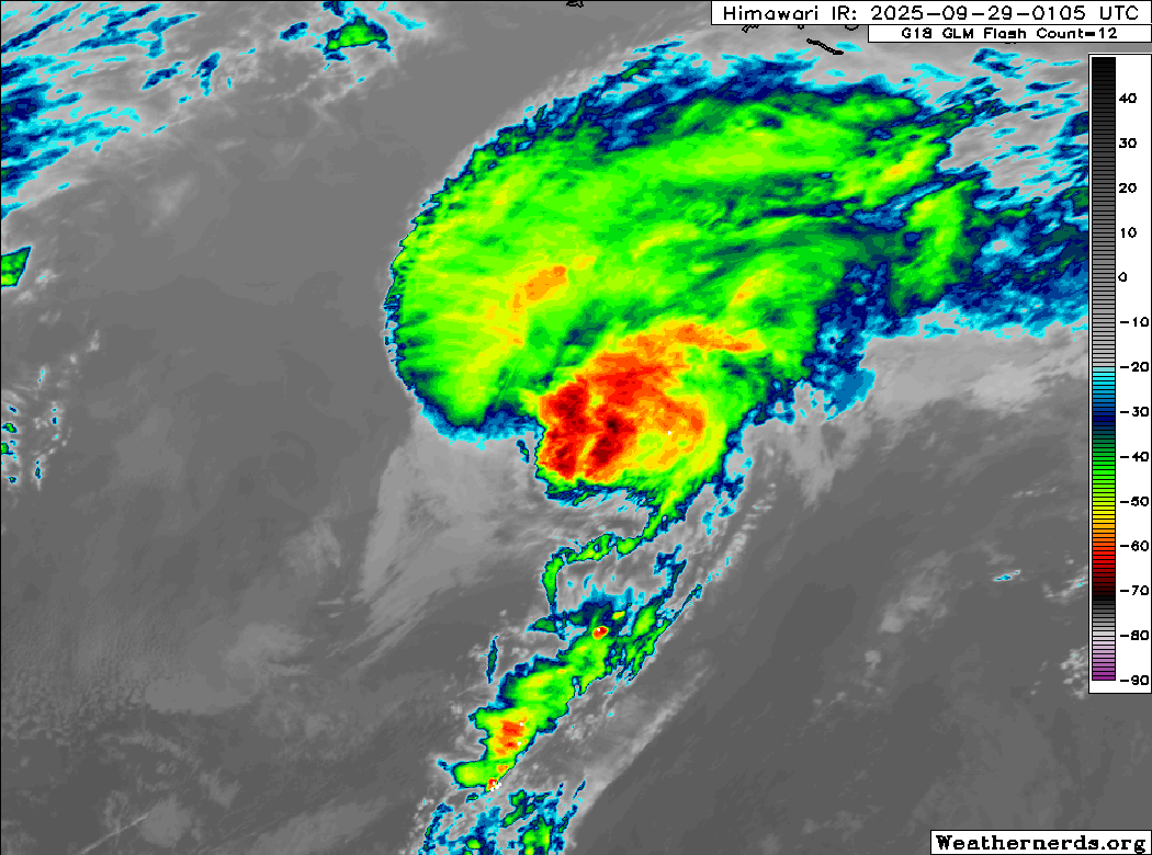
Himawari-9 infrared satellite image (Weathernerds)
Unfortunately, all good things must come to an end, and in this case, Neoguri has lost its battle with climatology. Satellite imagery indicates that a cold front has overtaken Neoguri’s circulation center, and much of Neoguri’s structure has collapsed. Most of the remaining convection is quickly being sheared off well to the north and east of the circulation center, and the center is becoming embedded in dry air. In addition, a well-defined cold front extends well to the south of the system. Although some deep convection is still being generated by the center, Neoguri should lose the rest of its tropical characteristics within the next few hours, so it is now a post-tropical cyclone.
While Neoguri is quite powerful for an extratropical low, it is forecast to weaken quite rapidly as it loses its baroclinic support. Most available model guidance now dissipates Neoguri’s circulation south of the Gulf of Alaska by midweek.
This is the last advisory on Neoguri.
Forecast positions and maximum winds
000 hrs: 42.4°N 172.4°E – 90 kts Post-tropical/extratropical
012 hrs: 44.3°N 179.0°E – 65 kts Post-tropical/extratropical
024 hrs: 45.1°N 176.0°W – 40 kts Post-tropical/extratropical
048 hrs: 46.0°N 164.5°W – 30 kts Post-tropical/extratropical
072 hrs: Dissipated